

How the system is organized
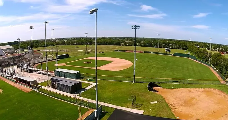
Fairview does not have a single large central park. Instead, the Town maintains ten parks and nine trails, most of them small and tied to specific neighborhoods, plus two longer trail corridors along Stacy Road that cross the south side of town. Long-range planning is guided by the Town's Parks, Open Space and Trail Master Plan, last revised November 2, 2021, and a Parks and Recreation Advisory Board advises the council.
The parks fall naturally into three groups: the east side around Parkside Park, the central and north neighborhoods, and the Town Center area near US 75.
East side: Parkside, Beaver Run, Coyote Meadow and Cypress
Parkside Park
East Stacy Road, just north of Stone Hinge Drive and south of Big Bend Boulevard. At 27.8 acres, Parkside is the largest open space the Town lists. It is mostly green space, with the Parkside Trail running through it and a deck that overlooks a beaver pond.
Beaver Run Park
110 Elisabeth Way. A neighborhood park with a playground, basketball court, picnic pavilion, horseshoe pits and dog waste stations. A 0.5-mile paved trail links it to the Parkside Trail.
Coyote Meadow and Cypress Park
Coyote Meadow is a nearly 18-acre natural meadow east of Cypress Park and west of Meandering Way. It has benches, mowed paths and wildflowers in season. Cypress Park, in the 400 block of Plumwood Way, sits next to it with a turf playground, pavilion, picnic tables, drinking fountain, bike rack and dog waste station. The 0.7-mile Roadrunner Trail connects the two and runs out to Meandering Way; its railing and improvements came from an Eagle Scout project, with local youth helping clear the route.
Central and north neighborhoods
Monarch Park
610 Cambridge Drive, in the Summerhill Farms neighborhood. A linear park with a turf playground, a climbing rock, a picnic pavilion with grill, and birdhouses along the tree line. The 0.32-mile Monarch Trail runs its length. In late June 2026 the Parks and Recreation Advisory Board installed an interpretive sign here, north of the playground, with photos and history of early settler families and the two schools that merged to form the original Lovejoy School.
Creekside Park
1040 Parkdale Drive. A pavilion, playground, open green space, 500 feet of paved trail, and water fountains for both people and pets.
Meadows Park
Murray Farm Road between Bluebird and Hummingbird Lanes. More than three acres with a turf playground, basketball court, benches, pavilion and picnic tables, drinking fountain and bike rack.
Town Center area
Village Green Park and Trail
Murray Farm Drive at Watertower Way. An 8-acre green with a playground, gazebo, a watershed area, two half-court basketball and sports courts, and a picnic area. It is the closest park to Fairview Town Center and the apartments and hotels in the commercial district.
Veterans Park
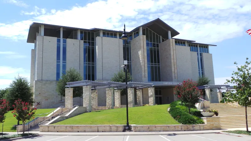
372 Town Place, at Town Hall. A memorial park with monuments to six military branches, a sculpture and memorial stones.
Dig It Dog Park
200 Convention Drive. A small dog park attached to the Overture apartments. It is privately owned but open to Fairview residents.
The trail network
| Trail | Length | Where it runs |
|---|---|---|
| Stacy Road Trail | 2.72 miles | Along Stacy Road from US 75 east to Country Club Road, plus a 0.67-mile spur along US 75 from Stacy Road to Latham Drive |
| East Stacy Road Trail | 2.3 miles | Along Stacy Road from Country Club Road to Orr Road; crosses the Parkside trailhead |
| Parkside Trail | 1.57 miles | Paved and natural surface between Parkside Park and Beaver Run Park |
| Sloan Creek Trail | 1.04 miles | Through 4.27 acres of greenbelt along Sloan Creek |
| Bush Springs Trail | 0.86 miles | From near Latham Drive and Fairview Parkway north along Fairview Parkway, then northeast to near SH 5 |
| Apple's Crossing Trail | 0.71 miles | Through the Apples Crossing neighborhood next to SH 5 |
| Roadrunner Trail | 0.7 miles | Cypress Park to Meandering Way, around Coyote Meadow |
| Monarch Trail | 0.32 miles | Through Monarch Park |
| Stoddard Trail | 0.3 miles | Along Stoddard Road, connecting toward Country Club Road and the Apple's Crossing Trail |
Suggested routes
- Longest straight shot: the Stacy Road Trail and East Stacy Road Trail meet at Country Club Road, so you can cover about five miles of path from US 75 to Orr Road.
- Nature loop: start at Parkside Park on East Stacy Road, take the Parkside Trail to the beaver pond deck and on to Beaver Run Park, then return the same way for a little over three miles.
- Short neighborhood walk: combine Cypress Park, the Roadrunner Trail and the mowed paths in Coyote Meadow.
- Town Center walk: Village Green Park, the US 75 trail spur, and the Bush Springs Trail along Fairview Parkway.
Note that Latham Drive between Fairview Parkway and Convention Drive is closed for reconstruction from July 20, 2026 until summer 2027, which affects access near the Bush Springs trailhead.
Next door: the Heard
The 289-acre Heard Natural Science Museum & Wildlife Sanctuary at 1 Nature Place in McKinney borders Fairview and has more than 6.5 miles of trails through Blackland prairie, wetlands, bottomland forest, upland forest and white rock escarpment. Unlike the Town parks, it charges admission. Its October 2026 calendar includes Fright at the Museum on October 16, Halloween at the Heard on October 17, and wetland canoe trails on October 18.
Practical notes
- Check posted park hours and rules at each site.
- Dog waste stations are at Beaver Run, Creekside, Cypress and Meadows parks.
- Pavilions are at Beaver Run, Monarch, Creekside, Cypress and Meadows parks.
- Turf playgrounds are at Monarch, Cypress and Meadows parks; Beaver Run and Creekside have mulch playgrounds.
Sources (5)
Last reviewed October 12, 2026. See something out of date? Email info@grisak.com.
 Schools
 Neighborhoods
 Moving to Fairview
 Homes we have sold